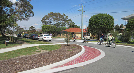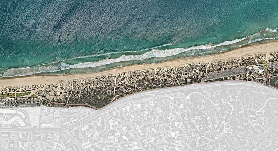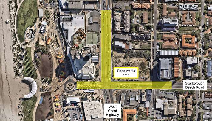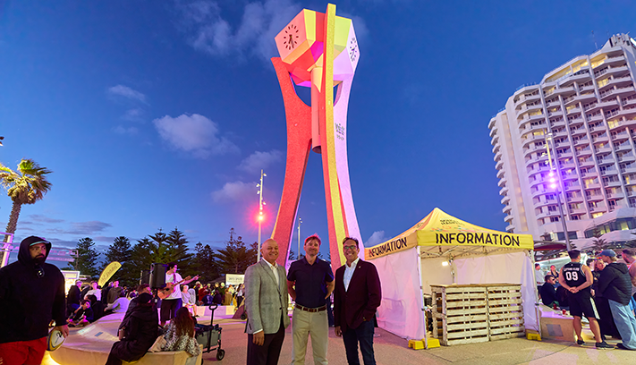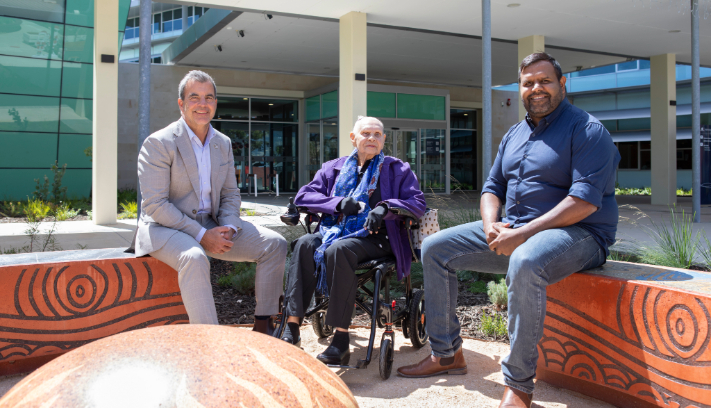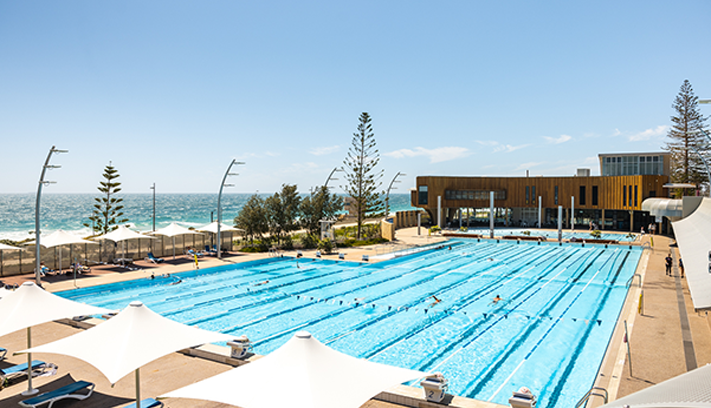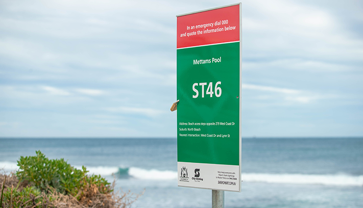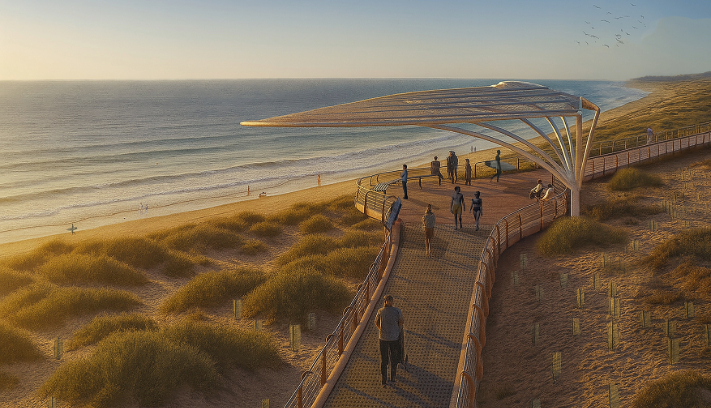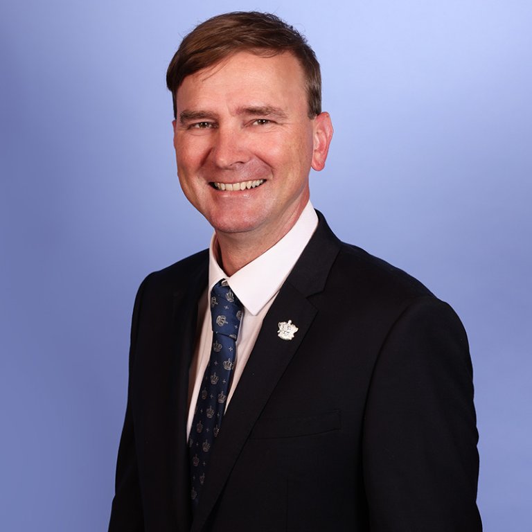
The Coastal Ward stretches from Watermans in the North, to Scarborough in the South contains a number of local reserves, beaches and shopping locations. The ward is represented by Councillor Tony Krsticevic and Councillor Rob Paparde.
City residents receive our Coastal Ward News brochures in letterboxes. This brochure contains local news, events and updates on local services and projects, as well as contact details for the Mayor and your Ward Councillors.
Meet your ward councillors

Neighbourhood planning
Street signs and naming history
Street name | Derivation of name | Location of sign |
|---|---|---|
Corbett Street, Scarborough | Named after early settler, James Corbett | Cnr Corbett St & Ventnor St, Scarborough |
Crisp Place, Karrinyup | Named after Dr Crisp, founding member of Lake Karrinyup Country Club | Cnr Crisp Place & Clement Drive, Karrinyup |
Deanmore Road, Scarborough | Named after Dean Moore, a local cleric | Cnr Deanmore Rd & Manning St, Scarborough |
Elliott Road, Karrinyup | Named after Herb Elliott (b.1938), world champion athlete | Cnr Elliott Rd & Rinaldi St, Karrinyup |
Groat Street, North Beach | Named after the Groat family, local bakery owners | Cnr Groat St & Sorrento St, North Beach |
Muller Street, North Beach | Named after the Muller family, local butcher shop owners (c1940) | Cnr Muller St & Giles St, North Beach |
Pascoe Street, Karrinyup | Named after Harry Pascoe of the Osborne Park Agricultural Society | Cnr Pascoe St & Ramsay St Karrinyup |
Pound Lane, North Beach | Named after Glen Pound of the North Beach Surf Life Saving Club | Cnr Pound Lane & Castle St, North Beach |
Maps
Coastal ward boundary


