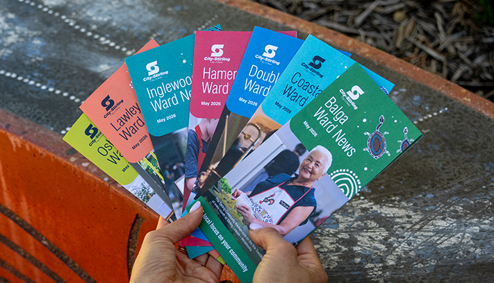
Future Stirling
Reviewing the Strategic Community Plan to guide the City’s long‑term direction.


The local community describes Doubleview as caring, diverse and friendly neighbourhood. To better understand what is means to be ‘a local’ our suburb profile seeks to understand the local stories Koora (past), Yeyi (present), Boordawan (future) and respond to Ngalang Maya (our place). This snapshot identifies the unique character of Doubleview’s neighbourhood and helps the City rethink how we deliver services with a local focus.
Doubleview was named for its views of both the Indian Ocean and the Darling Ranges, but development was slow until returning World War Two soldiers were given homes in the area. Find out more about Doubleview, including residential and community development.
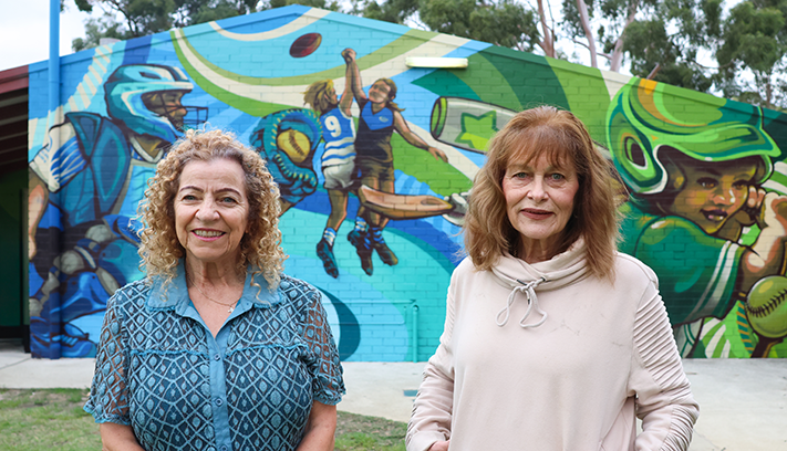
Mural by Daek William.
Doubleview acquired its name as the suburb offers two extensive views, the Indian Ocean to the west and the Darling Ranges and Perth to the east.
One of the first landowners in Doubleview was John Daniel Manning, a dairy farmer who occupied land in 1895 but did not develop it. The northern section of Doubleview was first subdivided in 1910 by Perth real estate agent Charles Edgar Stoneman but land did not sell rapidly and, as street names duplicated those in Perth, many investors were led to believe they were buying in the city centre.
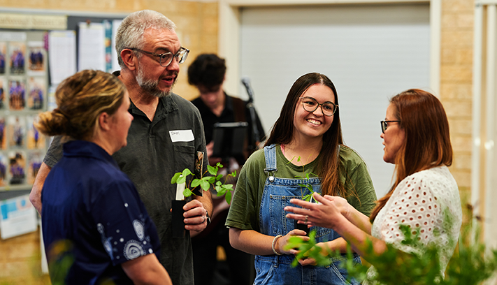
Art for All in the Hall - hosted by Transition Town Stirling.
These are the top local priorities you've told us are important for Doubleview.
"Upgrade the bowling club, add a playground."
The City completed the Building Better Bowls project in 2024/25, which focused on enhancing the viability and sustainability of bowling clubs across the City. In response to a $1.5 million election commitment, we will work with Doubleview Bowling Club to develop a scope for facility improvements.
Learn more on the Everyone Belongs page.
"Free bus service down to Scarborough beach starting from Huntriss Road on Friday, Saturday, and Sunday evenings to help with over parking at Scarborough Beach."
The provision of public transport services is the responsibility of the State Government, through the Public Transport Authority. Through the 2025 State Elections the State Government committed $14.2million to deliver the free SurfCAT service. The Surf CAT is a daily service, running from Stirling Station along Ellen Stirling Boulevard and Scarborough Beach Road direct to Scarborough Beach. The free service runs up to every 10 minutes during peak periods, from early in the morning to late at night, seven days a week. The new service began on Sunday 30 November 2025.
"Remove overhead powerlines and let the street trees grow!"
Construction has begun in Doubleview as part of an underground power project. The Underground Power Program is determined by Western Power based on the condition of assets, with a link to the program available on the City's website.
Learn more about Underground Power.
"More street trees and trees in parks."
Through the 2025/26 plan and budget, 8,000 trees were planted in parks and verges. Furthermore, the City will increase tree watering from two years to three years for new trees to mitigate loss. An additional 784,000 trees and shrubs will be planted across the City by 2040.
"Verge revegetation and future proofing landscape ecosystems."
The City’s Free Trees and Plants program was fully subscribed within just three days in 2026, with almost 3,000 households set to receive a total of 36,285 trees and native plants— an increase of 20 percent compared to the previous year. The program continues to grow in popularity year on year, which is fantastic news for the expansion of our urban canopy and backyard biodiversity.
Learn more on the Living Green Program webpage, or sign up for the Living Green newsletter for more updates.


In 1916, developer M. L. Connor subdivided the southern portion of Doubleview, although once again blocks were slow to sell, and developers Dudley and Dwyer acquired the unsold lots in both parts of Doubleview in 1926. While they created the name for the area in an attempt to attract interest, development did not begin to accelerate until the government began providing returned soldiers homes in the northern section of Doubleview after World War Two.
Single detached dwellings dominate Doubleview but there are some scattered unit and duplex developments. Much of the area contains post-war housing, a significant proportion of which was constructed by the government, and many of the original dwellings are of timber-frame construction, with more recent developments using brick and tile. Some parts of the southern section of Doubleview contain examples of 1960s and international-style housing.
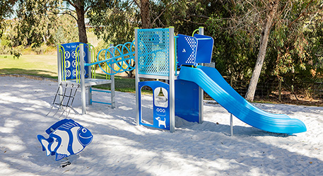
There are seven local open spaces and one community open space in Doubleview that offer both active and passive recreation, including Bennett Park. While Doubleview Primary School serves the educational needs of younger students in the area.
Doubleview also offers spectacular views from Ewen Street and the water tower on Princess Street, which is visible from all parts of the surrounding region.
Westfield Innaloo is the nearest major retail outlet, supplemented by older retail strips along Sackville Terrace and Scarborough Beach Road.
City of Stirling kaadatj Nyoongar moort Nyoongar boodja-k Wadjak boodja-k. Ngalak kaadatj Nyoongar nedingar wer birdiya koora koora wer yeyi. Baalabang koondarm, malayin wer nakolak baalap yang ngalany-al. Ngalak dandjoo barn wer kaaratj bandang boodja-k.
The City of Stirling acknowledges the traditional custodians of this land, the Wadjak people of the Nyoongar Nation, and pays respect to the Elders both past and present for they hold the memories, the traditions, the culture and hopes of Aboriginal Australia.