Future Stirling
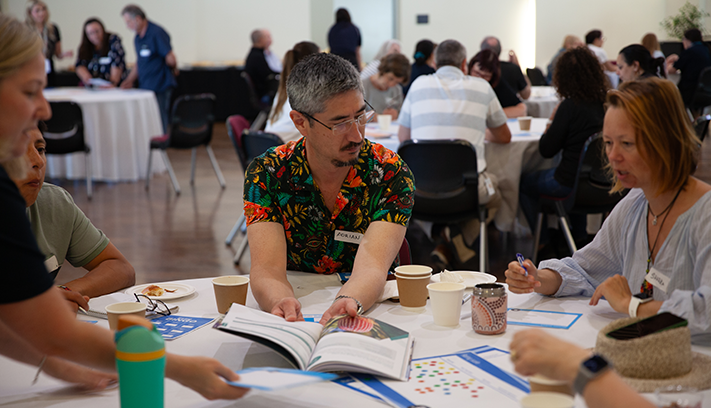
To ensure we’re strategic and intentional about our shared future, the City is undertaking a major review of our Strategic Community Plan.
To better understand what is means to be ‘a local’ our suburb profile seeks to understand the local stories Koora (past), Yeyi (present), Boordawan (future) and respond to Ngalang Maya (our place). This snapshot identifies the unique character of Joondanna’s neighbourhood and helps the City rethink how we deliver services with a local focus.
Originally named "Joondanna Heights", subdivision of the suburb of Joondanna saw rapid development in the late 1940s and early 1950s, and by 1958 little vacant land was available.
"Joondanna Heights" was originally selected as the name for this suburb, in a competition organised by the City of Stirling's predecessor, the Perth Road Board. In 1954 the name was shortened to Joondanna, which is believed to have been the name of a farm owned by early settler Mark Banks in what is now Osborne Park.
Joondanna Blues Football Club.
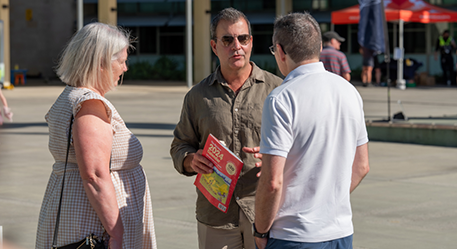
These are the top local priorities you've told us are important for Joondanna.
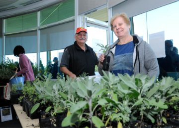
"Add more cafes and restaurants and pubs to create a more sociable atmosphere."
The City of Stirling is committed to fostering a vibrant and diverse local economy by supporting the growth of small businesses, including bars and restaurants. Through its Investment Attraction Framework, the City outlines strategic initiatives to unlock economic potential in key precincts, with a focus on creating lively, mixed-use destinations that encourage hospitality and entertainment ventures where appropriate. By streamlining processes for new businesses and offering targeted support, the City aims to increase the number of local enterprises and enhance community liveability. Economic development is also supported through the Innovative and Productive Communities Grants stream, which encourages investment, innovation and entrepreneurship in local business.
The City has commenced the preparation of a new Local Planning Strategy, which will set the planning directions and actions to address key challenges and opportunities for managing growth and change over the next 15 years. The Strategy will be structured around these four key themes:
This will also include a needs analysis to ensure Joondanna residents have convenient access to a range of activities.
"Safe pedestrian and cycle paths to train station away from polluted main roads."
The City is continually exploring opportunities to improve pedestrian and cycle paths, with a focus on creating safer connections to public transport facilities.
Enquiries regarding specific locations can be submitted to the City online.
"More green spaces."
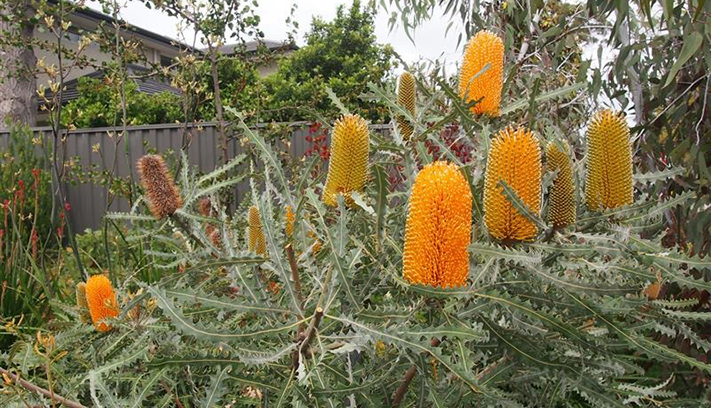
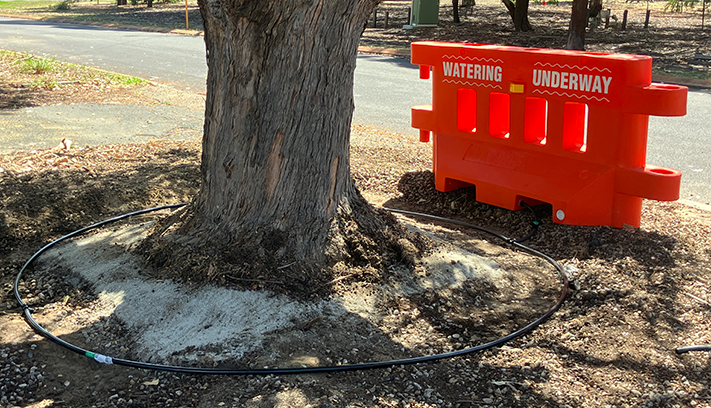
Through the 2025/26 plan and budget, 8,000 trees will be planted in parks and verges. Furthermore, the City will increase tree watering from two years to three years for new trees to mitigate loss. An additional 784,000 trees and shrubs will be planted across the City by 2040.
"Nature playgrounds and scooter and bike tracks for kids."
The City has received State Government funding commitments for upgrades of parks in Joondanna. Once the scope of works are known, designs and public consultation will be undertaken, and delivery confirmed.
"Stop people who rip down large existing trees and build houses so close to each other covering the whole block."
The City applies the Residential Design Codes which limits the amount of site coverage a property can have. In addition to this the City has a commitment to fast track assessments for properties that seek to retain a mature tree as part of their development application (DA). As part of the 2025-26 Budget, a Tree Project Officer will be appointed to ensure DA requirements are met and that trees are retained and planted where required.
Learn more about trees and development in the City of Stirling.


Land at Joondanna was first granted to T. R. C. Walters in 1840, however little development occurred until after World War II. Subdivision of Joondanna commenced in 1939, and the late 1940s and early 1950s saw rapid development, to the extent that by 1958 little vacant land was available.
Until recent years, single detached houses dominated Joondanna. However, many of the old timber-framed workers' houses from the 1940s and 1950s have been removed to make way for new developments. This has resulted in the construction of numerous units in Joondanna, although single detached dwellings still remain the dominant form of housing in the suburb.
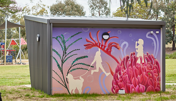
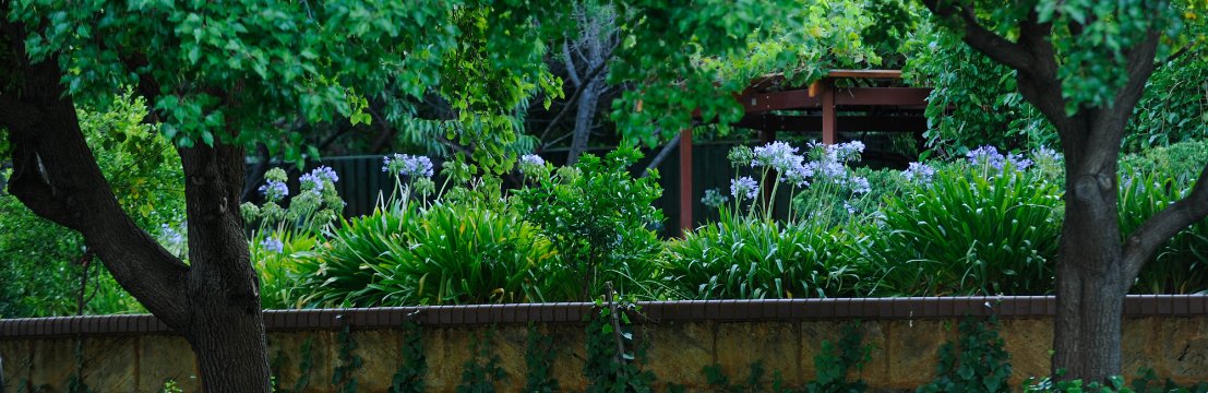
Joondanna has 3ha of public open space which includes seven local open spaces and one community open space. The largest park within the region surrounds the water tower on Roberts Street and Albert James Park also provides for passive recreation.
Joondanna contains a number of small shops to cater for daily grocery needs.
St Denis church was built for Servite Fathers in 1967, designed by Ernest Rossen and with interiors by Iris Rossen, it is an excellent example of late Twentieth Century church architecture distinguished by its detached sculptural forms and internal lighting on rough-finished perimeter walls.
The water tower located on Roberts Street is a significant element of the landscape and is highly visible from surrounding areas. The well-landscaped section of Wanneroo Road that borders the eastern sector of Joondanna provides an attractive gateway to the area.
City of Stirling kaadatj Nyoongar moort Nyoongar boodja-k Wadjak boodja-k. Ngalak kaadatj Nyoongar nedingar wer birdiya koora koora wer yeyi. Baalabang koondarm, malayin wer nakolak baalap yang ngalany-al. Ngalak dandjoo barn wer kaaratj bandang boodja-k.
The City of Stirling acknowledges the traditional custodians of this land, the Wadjak people of the Nyoongar Nation, and pays respect to the Elders both past and present for they hold the memories, the traditions, the culture and hopes of Aboriginal Australia.