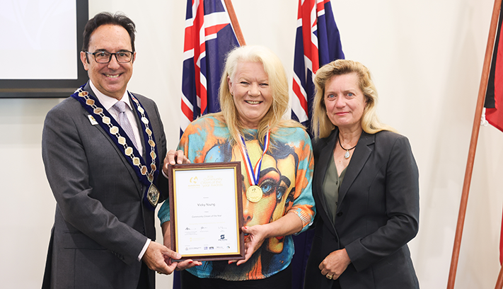
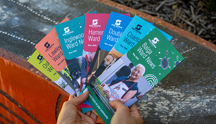
Future Stirling
Reviewing the Strategic Community Plan to guide the City’s long‑term direction.


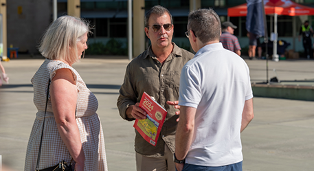
The local community describes Hamersley as a green, quiet and peaceful neighbourhood. To better understand what is means to be ‘a local’ our suburb profile seeks to understand the local stories Koora (past), Yeyi (present), Boordawan (future) and respond to Ngalang Maya (our place). This snapshot identifies the unique character of Hamersley’s neighbourhood and helps the City rethink how we deliver services with a local focus.
Named after the family that settled in the area after arriving at the Swan River Colony in 1837, the low-lying areas within Hamersley were used for market gardening during the early years and the remaining land was largely undeveloped.
Named after the family that settled in the area after arriving at the Swan River Colony in 1837, the low-lying areas within Hamersley were used for market gardening during the early years and the remaining land was largely undeveloped.
The ABC radio tower between Wanneroo and Erindale Roads is a significant landmark, transmitting 720 6WF across the metropolitan area.
These are the top local priorities you've told us are important for Hamersley.
"Local library hub."
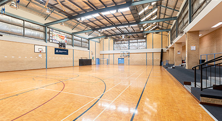
Conveniently located at Stirling Leisure – Hamersley Community Hub, the new Stirling Libraries – Hamersley Book Nook lets you collect Stirling Library items you have put on hold and return items through our simple 24/7 ‘click and collect’ service extending the accessibility of Stirling Libraries to our customers.
Learn about the Hamersley Hub Book Nook on our website.
"I'd love one café in the suburb."
The City of Stirling is committed to fostering a vibrant and diverse local economy by supporting the growth of small businesses, including bars and restaurants. Through its Investment Attraction Framework, the City outlines strategic initiatives to unlock economic potential in key precincts, with a focus on creating lively, mixed-use destinations that encourage hospitality and entertainment ventures where appropriate.
By streamlining processes for new businesses and offering targeted support, the City aims to increase the number of local enterprises and enhance community liveability. Economic development is also supported through the Innovative and Productive Communities Grants stream, which encourages investment, innovation and entrepreneurship in local business.
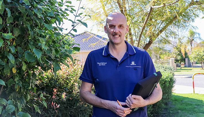
The City has commenced the preparation of a new Local Planning Strategy, which will set the planning directions and actions to address key challenges and opportunities for managing growth and change over the next 15 years. The Strategy will be structured around these four key themes:
This will also include a needs analysis to ensure Hamersley residents have convenient access to a range of activities. The 2025–26 plan and budget includes funding to develop draft concept plans for the Hamersley Community Hub, which would likely include a cafe. This project aligns with the 2025 State Government election commitment of $4 million for a performing arts facility.
"Traffic congestion at the intersections of Balcatta and Erindale Road, and Reid Highway and Erindale Road."
The City acknowledges that congestion occurs along Balcatta Road between Erindale Road and Reid Highway. As part of the recent State and Federal Government elections, funding was committed to deliver a grade-separated bridge over Erindale Road with connecting ramps at the Reid Highway–Erindale Road intersection.
This project is now being progressed by Main Roads WA, with preliminary works expected to commence late 2027.
Learn more about roads, traffic and civil works projects in the City of Stirling.
"Maintain current native bushland areas, quarantine these areas from development so that our wildlife can continue to have a home."
City-managed conservation areas are protected from development and are inspected on a regular basis. Budget in the 2026/27 financial year has been allocated to continue these works.
"The playgrounds and parks."
Through the 2026/27 plan and budget Ambridge Eglinton Reserve and Ardleigh Ebury Eccles Reserve have been listed for playground upgrades.


First owned by Edward Hamersley who, after his death, passed the land on to his son Samuel, major residential growth in Hamersley did not occur until more than 100 years later.
It occurred in two stages:
Hamersley was the first suburb in the region to be guided by the principles of cul-de-sac design, which later formed the basis for other subdivisions within the northern corridor.
The suburb is characterised by modern, single residential dwellings and duplex developments and the majority of homes within Hamersley are built from brick and tile with an average lot size of 750m2.
As the first area to be developed, the western section of the suburb is dominated by single-storey residential dwellings, originating from the 1970s. Eastern Hamersley contains more recent developments, a large proportion of which have 2 storeys.
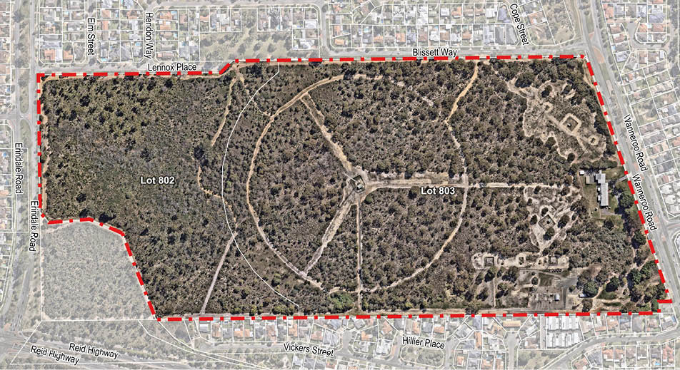
Hamersley has 23ha of public open space which includes 19 local open space's, one community open space and one district open space. These public open spaces are scattered throughout Hamersley, such as the Eglinton Aintree Reserve, which is centrally located and provides the suburb with a community recreation centre.
A small commercial strip along Erindale Road serves local shopping needs and two primary schools provide education requirements.
City of Stirling kaadatj Nyoongar moort Nyoongar boodja-k Wadjak boodja-k. Ngalak kaadatj Nyoongar nedingar wer birdiya koora koora wer yeyi. Baalabang koondarm, malayin wer nakolak baalap yang ngalany-al. Ngalak dandjoo barn wer kaaratj bandang boodja-k.
The City of Stirling acknowledges the traditional custodians of this land, the Wadjak people of the Nyoongar Nation, and pays respect to the Elders both past and present for they hold the memories, the traditions, the culture and hopes of Aboriginal Australia.