06 March 2026
ECU Mount Lawley Redevelopment forward works consultation
The Western Australian Planning Commission has received a development application for forward works at the former ECU Mount Lawley site.
Last update date: 04 August 2026
In September 2020, the State Government announced the relocation of ECU Mount Lawley to the CBD campus as part of the ‘Perth City Deal’ partnership between the Federal Government, State Government and City of Perth. Subsequently, Development WA, on behalf of State Government which owns the land undertook several community engagement sessions to inform the development of a Master Plan for the site.
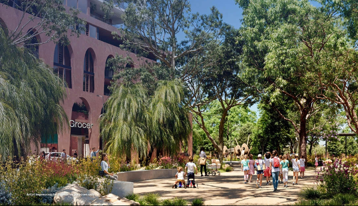
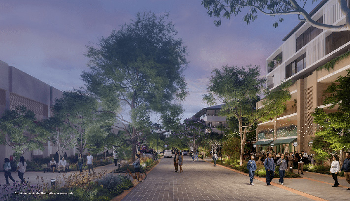
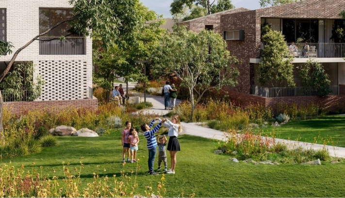
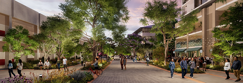
On 17 February 2026, the State Government announced that a vision for the ECU Mount Lawley Redevelopment had been finalised, with the Master Plan being a blueprint for the transformation of this unique, centrally located site into a vibrant and inclusive urban community.
The Master Plan which can be viewed on the DevelopmentWA project page here.
To facilitate the development of the site, it was recently rezoned under the Metropolitan Region Scheme (MRS) from Public Purpose – University to ‘Urban’ and ‘Public Purpose’.
The Urban zoning reflects a future development area that requires detailed planning to occur, whereas the Public Purpose reservation allows continued use of the WAAPA site for creative or educational uses.
A draft Precinct Structure Plan (PSP) was submitted to the City for assessment by Development WA to progress with development of the site.
The purpose of the proposed PSP is to provide a framework for land use, zoning, subdivision, design and development requirements. The PSP proposes:
The PSP also contains technical documents that need to show that the area is capable of being developed. These documents relate to matters such as traffic movements, environmental considerations and a retail impact assessment. A copy of the Precinct Structure Plan map is shown below.
The City’s role in relation to the PSP is to assess the plan and advertise it for public comment. Council is subsequently required to consider this assessment and comments received and provide a recommendation to the WAPC on whether the PSP is appropriate and whether modifications should be made before the PSP is approved.
At its meeting on 7 July 2026, Council resolved not to support the PSP due to issues relating to traffic, tree canopy and the impact on the surrounding community.
Further updates will be provided as and when they are made available.
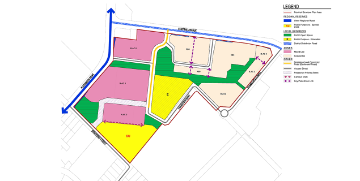
The Dianella Centre PSP has been prepared to coordinate the redevelopment of Dianella Plaza Shopping Centre and the surrounding area, comprising the following sites:
It relates to the area outlined on the Precinct Structure Plan Map (above) which is bounded by Alexander Drive to the north-west, Grand Promenade to the south-west and Waverley Street to the North-east. The total land area is approximately 8.9 hectares.
A PSP is a land use planning document that guides future land use and development and is an early step in establishing or redeveloping urban areas.
A PSP can show details such as housing density, road networks, areas of public open space and commercial areas. A PSP indicates the way in which an area is to be developed and provides a framework to guide Council when it considers subdivision and development proposals.
The planning framework in Western Australia requires a decision maker to have ‘due regard’ to a PSP when considering any development applications received.
In the context of the PSP, a decision-maker needs to demonstrate that the PSP has been considered, and if a there is a departure from the PSP, there needs to be a compelling reason to depart from the standard.
The City or the owner of land may prepare and submit a PSP. In this instance, the Dianella Centre PSP was submitted by Urbis (Lead Consultants) on behalf of Greenpool Capital (Landowner and Developer).
The PSP outlines a vision for the growth of Dianella Plaza Shopping Centre and surrounding area including the Our Lady's Assumption School and Stirling Libraries - Dianella, in addition to diversifying land uses to provide greater housing, community amenity and public realm outcomes for the Dianella community.
The PSP proposes:
If you want to provide comments on the PSP, you can do this by lodging a written submission, giving the reasons for your views on the PSP. The City must receive your submission by 3 November 2026. You can email your comments to the City at cityplanning@stirling.wa.gov.au or write to the City at:
City of Stirling
(Dianella Centre - Precinct Structure Plan)
25 Cedric Street
Stirling WA 6021
You can also provide your comments online at the City’s Community Consultation Submission Form.
All stakeholders are welcome to lodge a submission. The City’s Community Consultation Submission Form accepted submissions from individuals both within and outside the City.
Council must consider the planning merits of the proposal and the planning issues that have been raised in the submissions received. The City asks that comments be limited to those directly related to the planning merits or impacts of the proposed Structure Plan.
Matters that cannot be considered valid planning reasons for objecting to a proposal include:
The proposed PSP contains a number of technical documents that need to show that the area is capable of being developed. The PSP documents relate to matters such as traffic movements, environmental considerations and retail impact assessment. An assessment of these documents will be undertaken by City Officers during the advertising period.
Once the advertising period has concluded, the City Administration will review all of the submissions received. A report to Council will then be prepared, which will include the City Administration’s assessment of the proposed PSP documents and address all the comments received during the advertising period.
Council is to consider the report and subsequently provide a recommendation (within 60 days of the conclusion of advertising) to the WAPC on whether the proposed PSP should be approved by the Commission, with or without modifications. The WAPC will make a final decision to approve or refuse the PSP. This process can take several months and the City will advise submitters of the Commission’s decision when it is advised of the outcome.
If the WAPC decides to approve the Structure Plan, it comes into effect immediately.
 Related news
For more information, or to receive this information in an alternate format, please contact the City on (08) 9205 8555 or visit www.stirling.wa.gov.au/enquiry.

City of Stirling kaadatj Nyoongar moort Nyoongar boodja-k Wadjak boodja-k. Ngalak kaadatj Nyoongar nedingar wer birdiya koora koora wer yeyi. Baalabang koondarm, malayin wer nakolak baalap yang ngalany-al. Ngalak dandjoo barn wer kaaratj bandang boodja-k.
The City of Stirling acknowledges the traditional custodians of this land, the Wadjak people of the Nyoongar Nation, and pays respect to the Elders both past and present for they hold the memories, the traditions, the culture and hopes of Aboriginal Australia.