Parks and playgrounds
The City of Stirling is fortunate to have 502 parks and 276 playgrounds for the public to enjoy, with something for every age group and ability. This page contains information on Adopt-A-Park, drones and playgrounds.
The City of Stirling is dedicated to creating a safe, inclusive, and sustainable transport environment supporting walking, cycling, and other forms of active mobility.
Our Active Transport Principles guide improvements to infrastructure, community engagement and policy aiming to boost connectivity, reduce environmental impact, and promote healthier lifestyles. A well-connected network of cycleways and pathways encourages residents and visitors to choose active, healthy travel.

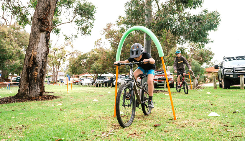
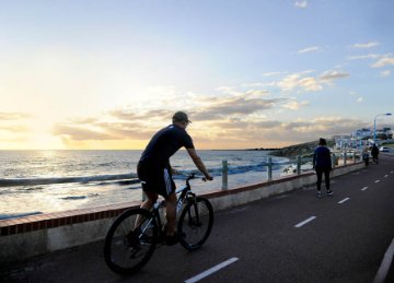
Bike riding or walking is a fun, healthy and sustainable way of getting around our City. It also provides the opportunity to explore our beautiful landscape, saving time and money.
The City is a participant in the state government’s Your Move program dedicated to supporting and encouraging schools, communities and organisations to walk, wheel, scoot and ride more.
Visit yourmove.org.au to find out how you can get involved.
Mobile phone apps: Information about the best routes from your location to your destination can be found within the usual navigation apps such as Google Maps or Apple Maps. Just switch your mode of transport to bike. There also are specialised active transport route planning apps such as Komoot you can install and try.
Online maps: If you prefer to plan and map out your journey while still at home or at your desk, we recommend you use the Your Move Journey planner. Your Move also provides active and public transport maps in the form of a PDF, downloadable from their Resources website. Mobile friendly versions of this map can be downloaded to your smart phone or device using a GPS based offline map viewer like the Avenza app.
Visit the Department of Transport website for walking and cycling maps and lots more.
The following parks and reserves have shared paths where you can enjoy a bike ride:
The City of Stirling has a variety of attractions and recreational opportunities to enjoy. From dog parks, playgrounds, beautiful beaches, community gardens, skate and BMX parks and bike trails and paths - there's something for everyone.
City of Stirling kaadatj Nyoongar moort Nyoongar boodja-k Wadjak boodja-k. Ngalak kaadatj Nyoongar nedingar wer birdiya koora koora wer yeyi. Baalabang koondarm, malayin wer nakolak baalap yang ngalany-al. Ngalak dandjoo barn wer kaaratj bandang boodja-k.
The City of Stirling acknowledges the traditional custodians of this land, the Wadjak people of the Nyoongar Nation, and pays respect to the Elders both past and present for they hold the memories, the traditions, the culture and hopes of Aboriginal Australia.